
Attention: North Texas and Ark-La-Tex
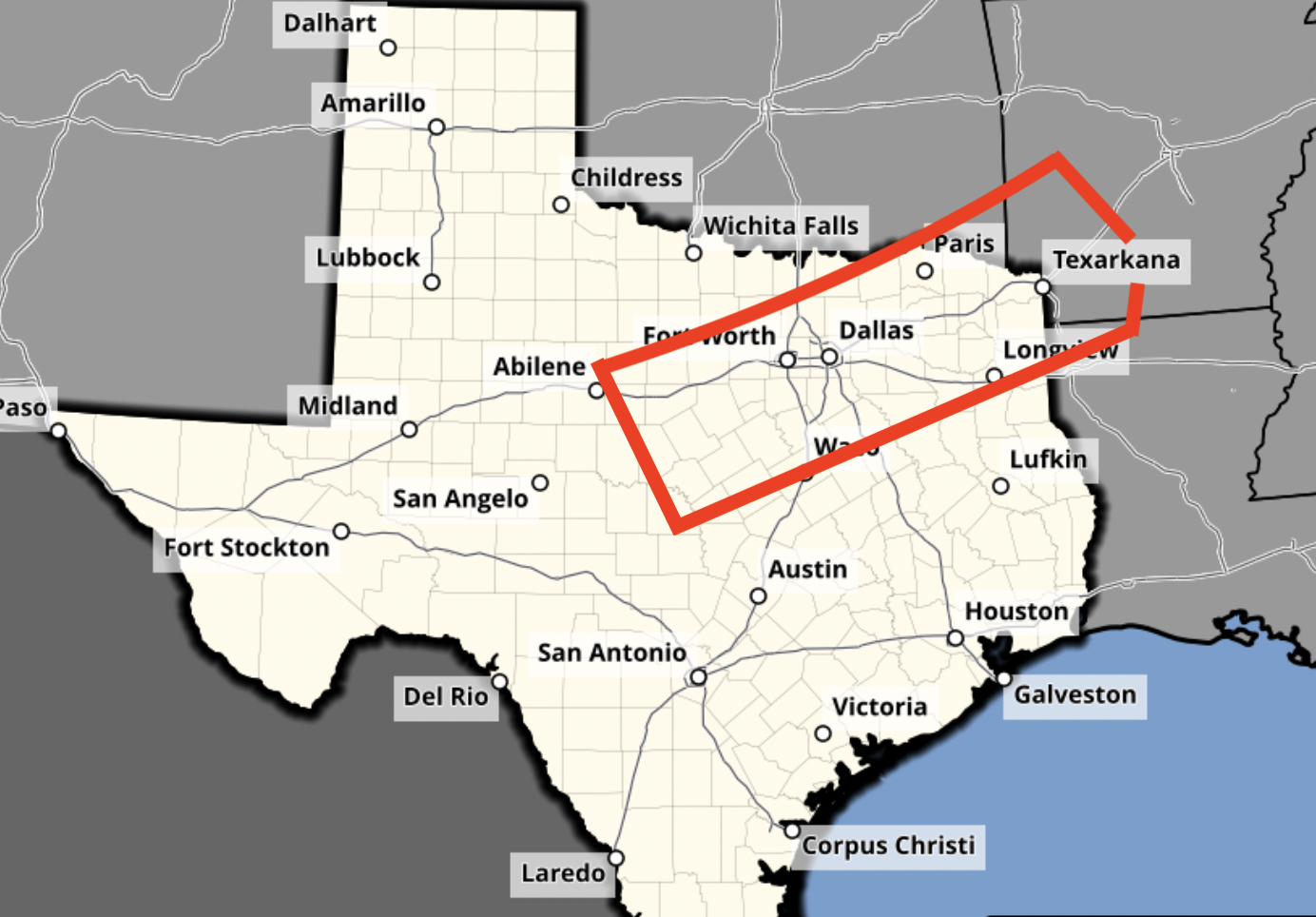
There is also the potential for very large hail and thunderstorm-driving damaging winds.
I recommend preparing tonight and tomorrow morning. Make sure you make provisions for infirm relatives/friends and for people who live in mobile home parks. They should move to appropriate shelters when the tornado watch is issued rather than waiting until a tornado warning is issued.
Of course, I will post updated information in the mid-morning.


Comments
Post a Comment