
California Storms Still on Track, Unfortunately
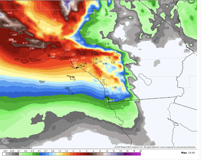
From the National Weather Service, here is the latest 7-day precipitation amount forecast.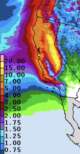 The brightest areas in the Sierra are forecasts of 15 to 19 inches of precipitation, most all of which will be in the form of snow: probably 15 feet or more. I've modified a NWS product to output what I believe will be the optimal forecast.
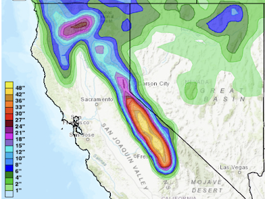
 I will continue to monitor this situation and provide additional updates.


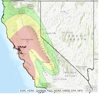
At lower elevations, there is a serious risk of flash flooding Friday and Saturday. In the red areas, the flash flooding may be life-threatening with landslides and water flowing across roads. Whatever you do, do not try to cross flooded areas by foot or by car.

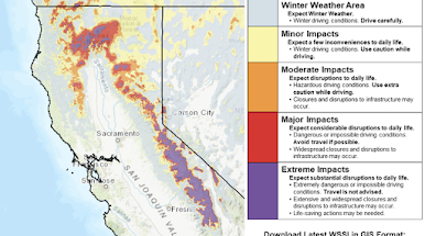
For Friday and Saturday, the National Weather Service rates this an "extreme" situation (purple) with "substantial disruptions to daily life." These extreme situations are almost always life-threatening.

If you are planning to fly to San Francisco (especially) or Sacramento during these storms, flight delays are likely.
Given the additional snows forecast to fall after day 3, I believe the "extreme impacts" will continue. Extended model ensembles show an additional 3-7 inches of precipitation may fall from days 8 to 15.
The Southland will have substantial rain during the second half of the 7-day forecast period. This area is still trying to recover from the catastrophic blizzard.


Comments
Post a Comment