
Snow Storm Status: 7:10am
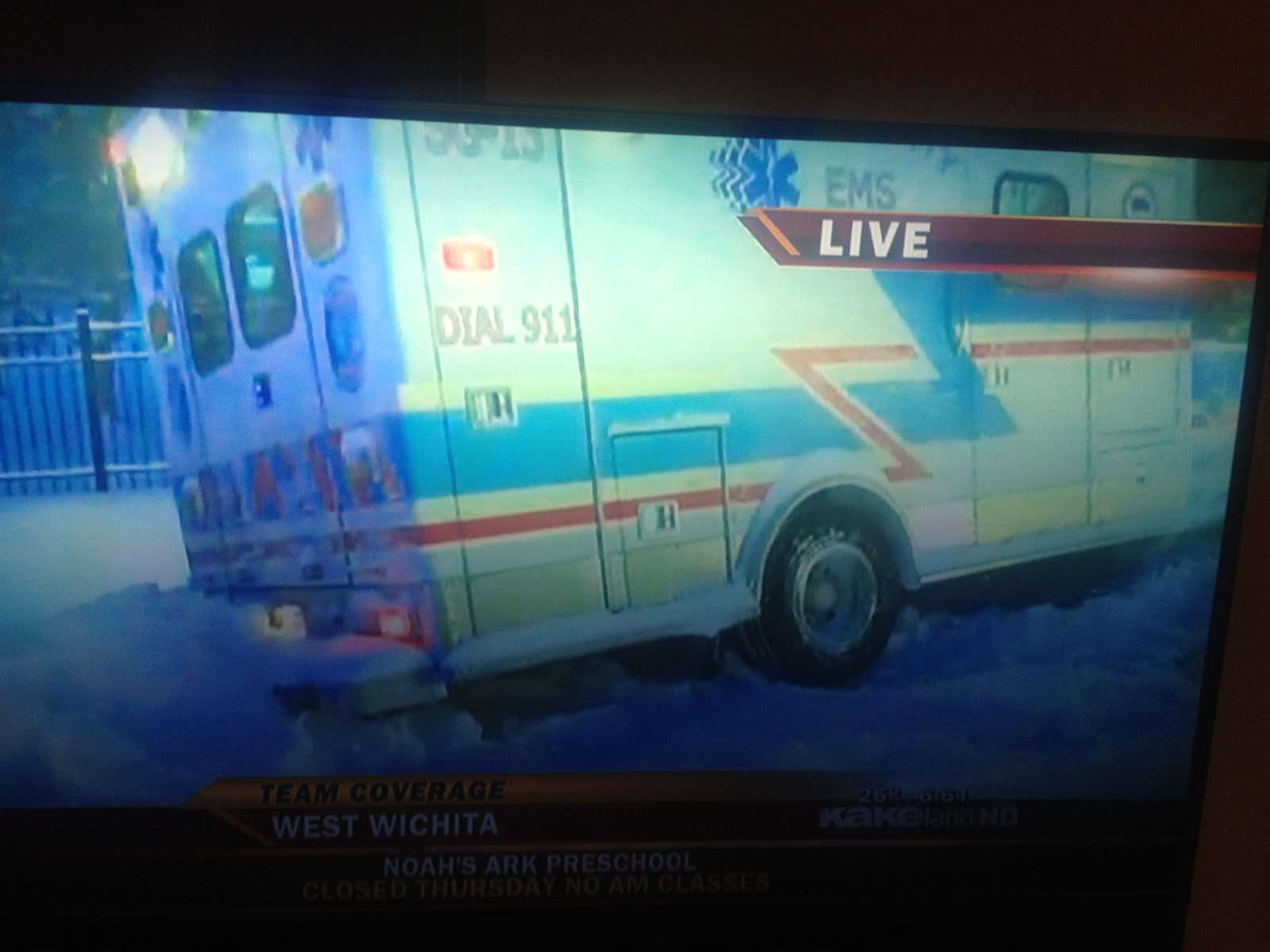
The above photo, from KAKE TV, pretty well says it. Ten inches and it continues to snow.
At 3:45 am I was awakened by a brilliant flash of lightning and the sound of thunder as thundersnow -- mixed with sleet and strong winds -- moved across the Wichita area. We officially had 10.2" at Mid-Continent Airport as of 6am and more snow has fallen in the last hour.
 |
| KWCH TV via Facebook |

At 7:03am, the Kansas City NWS radar shows areas of thundersnow (orange and red) from Topeka to Olathe (pronounced OH-LAY-THA) to the Lake of the Ozarks.

All hotels west of Hays on I-70 in Kansas are full. Roads throughout Kansas are "a mess" (as described by the Wichita Police Department). Update: Interstate 135 closed at 235 junction (north suburbs of Wichita).
Here is a summary of NWS warnings:


Comments
Post a Comment