Tornado and Winter Storm Threat
Tornado Threat After Dark
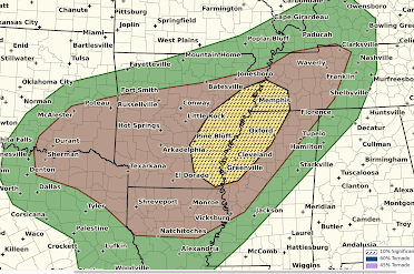
- The brown area has a significant risk of tornadoes.
- The yellow area has an enhanced risk of tornadoes and the hatching means that some of the tornadoes could be strong.
With this particular situation, there is little tornado risk before 5pm. The highest period of tornado risk will be from about 8pm until 1am Thursday. Because of the overnight nature of the threat, I highly recommend signing up for StormWarn, the nighttime telephone call only if a tornado or winds 80 mph or stronger are approaching your home. That way, you can go to sleep for the night and know that you will only be awakened if a dangerous storm is approaching.
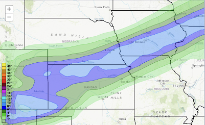
Winter Storm
Snowfall
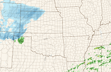
Here is a radar forecast for 3pm. The storm is still in the High Plains.
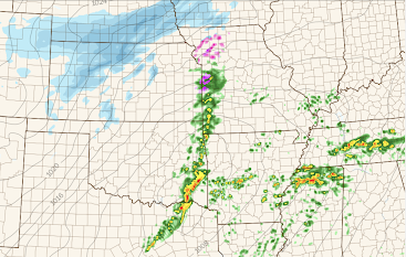
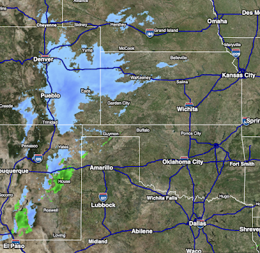
Latest Radar
Here is the regional radar from 10:52am.



Comments
Post a Comment