The Amazing Promise of "Mesoscale Modeling"
What if you could predict the path of a hailstorm six hours in advance?
While they are still experimental and there are times where they are terribly wrong, mesoscale models, more and more, are doing things even I never dreamed possible just a decade ago.
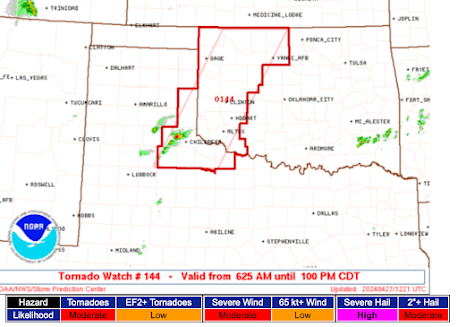
Below are forecasts of rotating updrafts which produce large hail and, at times, tornadoes. The top forecast forecast was made from data ending at 11am this morning and the lower from 1pm.
And, here is where the hail has fallen (so far) this evening. The stones were up to 2" in diameter.
The yellow/orange line just north of "Oklahoma City" is that track of large hail. Nearly a perfect forecast. On top of that, the storm threatened to drop a tornado.
If one has several hours of notice large hail is going to occur, a great deal of damage could be prevented. Cars could be put in garages, etc.
Meteorology is moving forward rapidly.


Comments
Post a Comment