Comprehensive Ice Storm Update, 5:30pm Monday
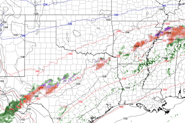
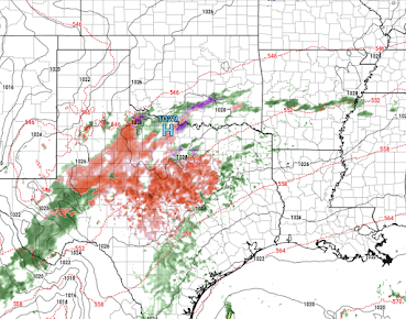
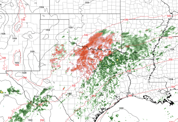
Unfortunately, the south central ice storm is going to be a prolonged event. Keeping in mind that drizzle and freezing drizzle -- which can cause major roadway problems -- are not depicted, here are the forecast radars for the next 55 hours.
4pm Tuesday
11:59pm Wednesday
DFW Area Storm Timing
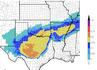
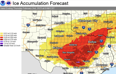
Below is an overview of the amount of freezing rain with a closeup of Texas.
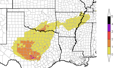
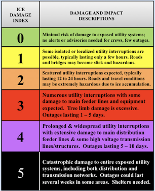
If these forecasts are correct, not only will road travel be virtually impossible, there will be power failures. Below is the Sperry-Piltz Ice Accumulation Index which forecasts the extent of power issues.
The worst of this is forecast by the NWS to be in the New Braunfels - Austin - Kyle areas. There could be power failures that last days if the forecast is correct. Please prepare accordingly.
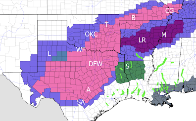
Below are the National Weather Service's warnings, et cetera.
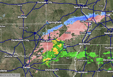
Finally, here is the radar (remember, freezing drizzle and drizzle are not detected by radar) as of 5:21pm.
Salmon color is freezing rain. Blue is snow. Greens are rain. Yellow is sleet with possible thunderstorms.




Comments
Post a Comment