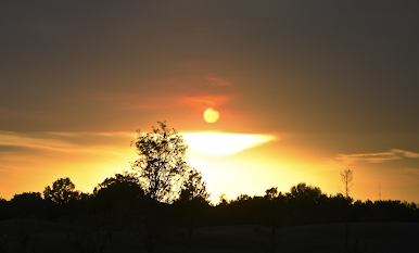
What a Storm This Evening!

We had quite the storm in the Wichita area this evening. Below was the view from my easy chair. It has been my experience that a sky like this means trouble. There is no filtering in this image. The first line of thunderstorms passed just to our north, leaving a small boundary just to the south of Wichita. That triggered a thunderstorm about 35 miles to our southwest. As the storm tracked northeast across the city, it strengthened and grew. The thunderstorm starting to intensify near Conway Springs. The thunderstorm broke into two with the strongest part over the northeast part of the city. We had 1/2" hail (the pink on the radar) and wind gusts to about 65 mph at my home. The image above was the reflectivity data from 9:27pm. The Wichita Terminal Doppler Weather Radar (TDWR) showed the speed of winds flowing out of the storm to be increasing rapidly over the northeast part of the city. Below is the TDWR wind data at the time that Jabara's wind instruments,...