
Today's Tornado and Severe Thunderstorm Risk
There is a significant risk of a tornado or two in the brown area. 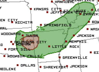

 The brown area has a significant risk of tornadoes Monday and Monday evening. I will update tomorrow morning.

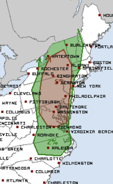
Below is a forecast (yellow and orange) of where high winds and large hail are likely as additional lines of thunderstorms form and move south and southeast.

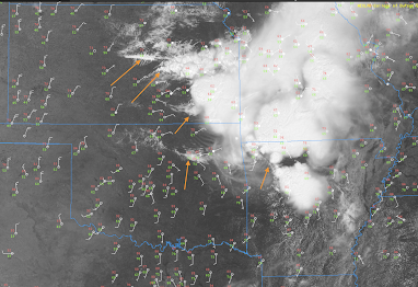
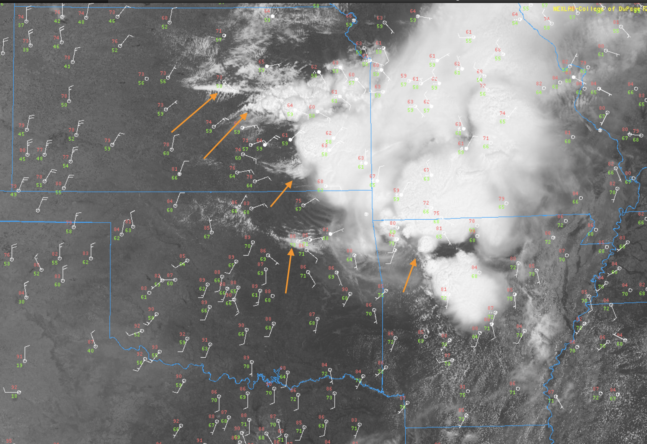
Every one of these wind convergence lines may trigger strong thunderstorms as they move south toward the extremely unstable air over far south central Kansas and Oklahoma that is flowing northeast.
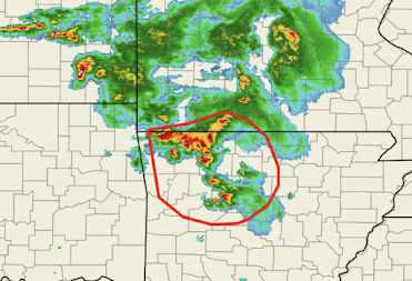
As of 12:46pm, the area outlined may experience extreme wind gusts as the storms move SSE across northern Arkansas.

MONDAY


Comments
Post a Comment