Serious Tornado Risk Later Today
Nuts!
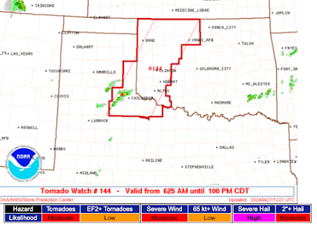
The SPC has raised its forecast of tornadoes, unfortunately. I present the map above as a "headline" but the details are below.
Remember: 5% (brown) is the significant threat. They have upgraded their 10% probability to a 15% probability and have extended it from Tulsa to near Columbia-Jeff City, Missouri.
Addition at 2:20pm. The SPC has now determined the enhanced tornado risk extends into central
and southwest Oklahoma. This includes Oklahoma City, Norman, and Ft. Sill.
-- Original Posting--
I don't want you to focus too much on SE Kansas, NE Oklahoma and Missouri. This air mass seems to be adroit at producing overnight tornadoes. If you live anywhere in the 5% region, please have your weather radio on overnight or use your cellphone as a weather alarm (see below).
I decided not to chase today even though it is a nearly ideal situation meteorologically. There are too many flooded roads in SE Kansas and NE Oklahoma and many dirt roads are total mud. By the time the storms get to Missouri it my be dusk or even after dark. Too dangerous for me.
Please pay attention to the weather if you live in these areas. And, remember, I do not post watches, etc., on the blog. Follow me on Twitter @usweatherexpert. Thank you.
Here is now to turn on the emergency notification feature.
Once you have tapped Notifications, scroll down to the bottom and turn on Emergency Alerts.
While not as fast or as location-specific as NWS warnings provided by the AccuWeather App, the WEA tones will wake you up at night if the phone is next to your bed. So, you want both. Because WEA only triggers for tornado and flash flood warnings you don't have the false alarm problem that you have with many NOAA Weather Radios. Please make sure family and friends have done this.


Comments
Post a Comment