8:15am Tuesday Tropical Storm Isaac Update
Some meteorologists were commenting on Isaac and said it has set a record for the tropical storm with the lowest barometric pressure. A storm with a pressure of 976 mb should be a hurricane. Isaac is one meteorologists are going to study for a long time.
So, where does the storm go from here? Here is the current position and forecast path.
Here is a forecast of wind gust speeds at 6pm this evening. The storm is predicted to be a hurricane at this point.
The wind speeds are in knots (1 kt. = 1.15 mph; 50 kt. = 58 mph). Gusts of 90 mph or higher cover the entire Mississippi Delta. Gusts of 65 to 70 mph have reached the barrier islands, the south part of the City of New Orleans and eastern Lake Ponchartrain, assuming this is a perfect forecast. The storm will continue to move northwest and the higher winds will move across the City of New Orleans if this forecast is correct. Of course, there will be widespread power failures and there is a threat of spillover from the Lake along with tremendous rainwater flooding.
The National Weather Service's rainfall forecast shows nearly a foot and a half falling in New Orleans and in coastal Mississippi. Residents near rivers and streams should prepare for serious flooding.
There is good news in the rainfall forecast -- beneficial, soaking rains north of I-40.
There is nearly a 100% chance of a 4' or higher storm surge along the path of Isaac.
And, there is -- depending on location -- as much as a 60% of the surge exceeding 7'.
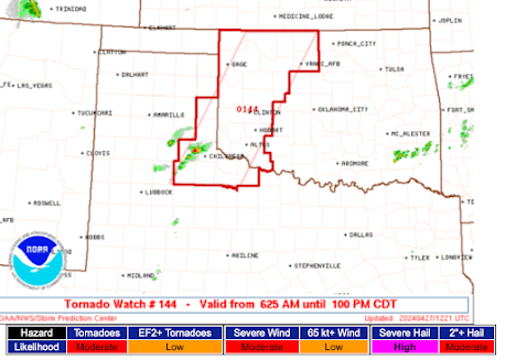
Finally, there is a risk of tornadoes later today. The 5% area is where the threat is most significant.
Bottom line: Isaac should strengthen into a hurricane before the eye makes landfall. Whether it ever achieves that status, the combination of excessive rainfall and storm surge will cause major flooding in many areas. If you are being advised to evacuate, follow that advice.


Comments
Post a Comment