7:10pm Isaac Update
At 7:10pm, 100,000+ homes and businesses without power in southeast Louisiana, including New Orleans. Grand Isle just had a gust of 76 mph. Barometric pressure has dropped another 3 mb to 967 mb. The storm is still slowly strengthening.
Below is a map of Shell Beach (orange peg), which is southeast of New Orleans.
Winds are now gusting to 64 mph at New Orlean's Lakefront Airport and are steadily increasing. The large yellow-orange area on radar moving into the metro area from east to west with both torrential rains and wind gusts that will gust well above 80 mph, especially on the east side of the area.
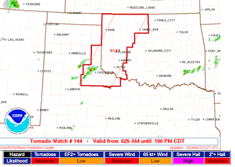
Here is the new tornado watch in effect until 7am.


Any sign of the storm surge pushing up into Pontchartrain? That's always my biggest concern for NOLA; the counterclockwise winds can push the gulf into the "Lake", then push the lake over the top of the levee on its southern shore.
ReplyDeleteHere is the latest observation from Lakefront: KNEW 290041Z 03045G56KT 3/4SM -SN BKN022 OVC030 A2940 RMK AO2 PK WND 03057/0006 SNB17 P0014
ReplyDeleteNote: The raindrops are being broken up by the 65 mph gusts and the sensors thinks they are snow!
I think there is a possibility they could see a 90+mph wind gust if the eye moves far enough NW. That is when the new levees will get the test.