Florence Flooding: The Rains Aren't Over Yet!
As of 10:45am Sunday, heavy rains will continue falling for another 18-36 hours.
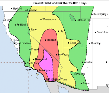
Here is the flash flood forecast from now through 8am tomorrow morning. 80% of all flash flood deaths occur in "high risk" areas.
And, from 8am Monday to 8am Tuesday.
 |
| click to enlarge |
Waters are still rising in many areas. Here are my safety suggestions:
- Put together a "go kit" with passports, current utility bill (to establish residence), birth certificates, family heirlooms and other vital and difficult to replace material so you can leave at a moment's notice.
- Be able to shut off gas and water to your home at a moment's notice.
- Keep your car filled with gas.
- If you are in a flash flood warning, climb first rather than than just driving away.
- Turn around, don't drown! Do not try to drive through flooded areas.
- If you live in a flood-prone area, evacuate now.
- There will be mudslides in/near the mountains and foothills
Please evacuate if ordered to do so.
Now, the meteorological details:
Regional radar at 10:30am.
Yellow is heavy rains. Red is torrential rain. Bright green polygons are flash flood warnings. Note the heavy rains and warnings now extend into western North Carolina.
Here is a forecast of additional rainfall for the next 48 hours. The dark browns are more than ten inch amounts. Please note the ten inch amounts extend into the mountains of North Carolina and Virginia
where landslides and flash flooding will occur.
Below is a map of how much rain has fallen as of 8am this morning.
So, this continues to be a record situation with unprecedented flooding in many areas. Some of the larger rivers will be in flood for another week or more.
Finally, if you believe you can "get away with" driving through a flooded area, I urge you to watch this video.


Comments
Post a Comment