
Winter Storm Update: 11:25pm Tuesday
At my home in northeast Wichita the temperature is 27° (down from 47° earlier today) with a northeast wind gusting to 37 mph. The snow began a half-hour ago and we have about a 1/2 inch already.
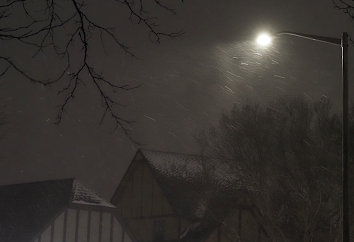 |
| Updated photo, 12:15am |
Unfortunately, the type of camera I have makes the snow look less impressive at night (the snow is blowing while the buildings stay stationary).
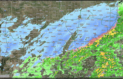
I don't have any significant changes to expected snow amounts. The storm, in geographic extent, is overperforming at this point. Below is the regional radar for 11:10pm.
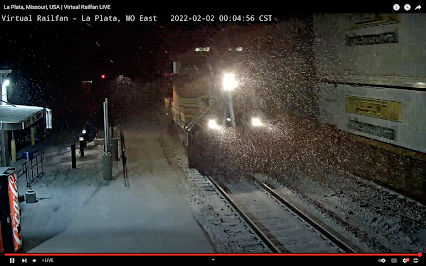
Snow falling in headlights of BNSF locomotive at LaPlata, Missouri, 12:04am
This will be my last update for the night.


Comments
Post a Comment