4:55pm Update on Hurricane Harvey
For additional information between blog postings, please follow me on Twitter @usweatherexpert .
Here is the updated forecast path of Harvey. Current sustain winds are 85 mph and pressure is 976mb.
Here is the updated forecast path of Harvey. Current sustain winds are 85 mph and pressure is 976mb.
M= the forecast eye of the hurricane. The orange is the location of sustained 40 mph winds. The rust color under the X is the area of hurricane force winds (partially obscured by the X).
The hurricane center is forecasting winds of 125 mph near landfall. This will cause serious structural damage and widespread power failures.
A storm surge warning is red (below) and a storm surge watch (a lesser condition) is pink. The storm
surge will be extremely dangerous in places with depths of more than 10' in spots. Below is a map showing the reasonable worst case depths of the storm surge.
 |
| Click to enlarge. From NOAA. Caption below. |
And, the threat of catastrophic rainfall flooding has not ended.
I cannot stress how serious this threat is. Scroll down for a list of safety suggestions for wind and flooding.
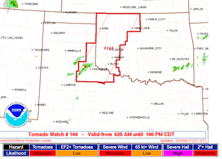
Finally, there is a threat of tornadoes in the dark green areas.


Comments
Post a Comment