Violent Weather Possible Late Today into Monday
There is going to be a great deal of severe weather starting later today and lasting into Monday. Here is a breakdown.
3pm Saturday through 7am Sunday
Thunderstorms with large hail are possible from the Southeast (including Augusta, GA where the Master's golf tournament is being played) into the Midwest and down into the Plains.
 |
| NWS large (≥1") hail probabilities, hatched area ≥ 2" College of DuPage graphic |
Tornadoes are also possible in the areas indicated in red with a lesser chance in the areas in yellow. And, while not shown on this graphic, I would include northern Iowa to the Minnesota border.
Noon Sunday through 9pm Monday
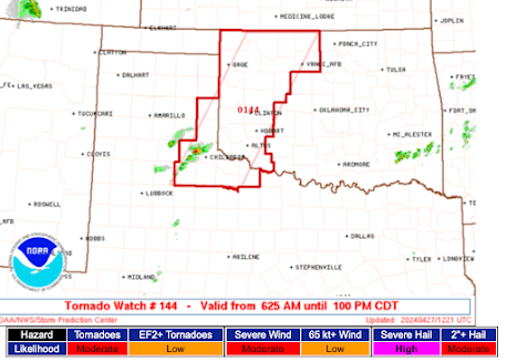
Tomorrow looks like a tornado "outbreak" (defined by meteorologists as an unusually large number of tornadoes in a large geographic area) day. Here is the overall outlook for Sunday and Monday's severe weather from my colleagues at AccuWeather:
The highest probabilities of major tornadoes Sunday are in the hatched area below:
What makes this especially hazardous is that the tornadoes will be fast-moving meaning there could be less than usual amounts of "lead time" (i.e., warning time before the tornado arrives).
So, if you live in any of the areas (including the East Monday, see the AccuWeather graphic) outlined, please pay attention to the weather.


Comments
Post a Comment