Update on Winter Wheat Belt Rain
Here is what the storm looks like now:
I have marked with red arrows the leading edge of the storm. The yellow "L" is the low pressure center still well off the coast.
The National Weather Service's meteorologist-created (as opposed to pure computer model) forecast of rainfall amounts has now increased and they have scooted the axis of heaviest rainfall farther east.
The one point of disagreement I have with this forecast is that I believe it is under-forecasting the amount of rain near the Kansas-Oklahoma border. The models have been quite consistent forecasting amounts near 5" in an area bordered by Dodge City - Pratt - Woodward.
I have marked with red arrows the leading edge of the storm. The yellow "L" is the low pressure center still well off the coast.
The National Weather Service's meteorologist-created (as opposed to pure computer model) forecast of rainfall amounts has now increased and they have scooted the axis of heaviest rainfall farther east.
 |
| Click to enlarge |
Has the forecast of rain been moving the wheat market? Yes. From Dow Jones, here are wheat prices from the last few days. I have put an arrow when we first started forecasting this rainstorm. Note: This is not a blog about commodities. I have only covered this because of the potential wider importance of this event given the extreme drought.
 |
| Wheat has dropped 45¢/bushel since the forecast of rain was posted. |
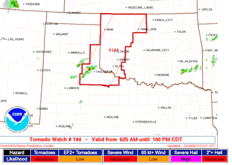
I received a question as to the possibility of tornadoes with this weather system. They are possible, but it is not an ideal situation. The NWS Prediction Center has forecast a slight risk of tornadoes or severe thunderstorms (large hail or damaging straight-line winds) two days:
Thursday
Friday
An active weather pattern to say the least.


Ahhh, all commodities were limit down on Friday. Commodites mostly trade with dollar strength and equity strength. JP Morgan holds the majority of the wheat contracts in the US, in fact more than the entire wheat harvest, which raises an interesting question, anyway hope it rains!
ReplyDeleteMike, wow, are we getting hammered at Shaver Lake, CA, in the Sierras!
ReplyDeleteJohn McC