National Weather Assn. Day 2
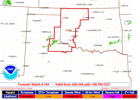
Today's presentations, in front of an overflow crowd, involved the tornadoes in the South on April 27 and in Missouri (St. Louis, April 22) and Joplin (May 22).
The University of Alabama - Huntsville has done some great work analyzing the first two of the three rounds of storms April 27 and have found a number of interesting signatures that might help us provide better warnings of squall line tornadoes.
The sheer number of warnings that had to be issued, due to the three lines of tornado-producing thunderstorms, was simply overwhelming.
There was one county -- with good meteorological reason -- that had a tornado warning in effect for one part or another for the county for five hours. Can people deal with that?
With regard to the Joplin tornado, its extreme intensity -- in part -- may have been due to a mini-front caused by rain-cooled air due to an earlier thunderstorm.
Unfortunately, I had to leave about 2 o'clock due to my talk to the Atlanta Chapter of the Association of Contingency Planners tomorrow. While I'm really looking forward to the talk, I'm sorry I had to say goodbye to so many friends and so many interesting presentations in Birmingham.
ADDITION: 617 were registered for the conference -- a record. Congratulations, NWA!


A great day of talks at NWA! My takeaway was the importance of having a consistent, clear warning message across the weather industry - gov and private sector together - that is based on sound science and not silly rules of thumb.
ReplyDelete