Record Flooding in St. Louis
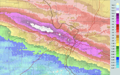
This map is 12-hour rainfall to 9am. The white areas are more than ten inches. Toward upper left is the 10+inch area near O'Fallon where Interstate 70 has been closed.
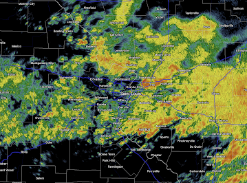
This is the radar as of 9:21am. Rain continues to fall but not at the torrential rates that fell during the night.
This is the worst flash flood situation in the St. Louis area I can remember over the last 40+ years.


Comments
Post a Comment