Dixie Derecho Continues
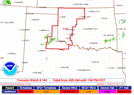
As we discussed on the blog yesterday evening, a derecho (geographically long-lived, intense thunderstorm wind storm) developed in Kansas and is now playing havoc in the South.
A severe thunderstorm watch, with a "high" risk of 75 mph (65 kt) or higher winds, is out ahead of the storms and extends southeast to Atlanta.
The derecho originated on the Kansas-Colorado border late yesterday evening and has moves southeast ever since. Here is an infrared satellite image (h/t AccuWeather's Jesse Ferrell) when it was over Kansas at 3:36am CDT.
This storm complex is so intense, the cloud top temperatures were -90°C = -130°F! At times, the rate of lightning was 1,500 strikes per 15 minute period. Even then, it produced wind gusts above 75 mph.
A severe thunderstorm watch, with a "high" risk of 75 mph (65 kt) or higher winds, is out ahead of the storms and extends southeast to Atlanta.
The derecho originated on the Kansas-Colorado border late yesterday evening and has moves southeast ever since. Here is an infrared satellite image (h/t AccuWeather's Jesse Ferrell) when it was over Kansas at 3:36am CDT.


Comments
Post a Comment