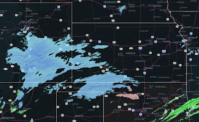
9pm Radar Update
The second area of snow is now growing rapidly in size and moving east northeast.
Late data this evening indicates there is a chance of thunder-snow in south central Kansas or thunder-sleet in north central Oklahoma during the night. If so, a few areas could somewhat more accumulation than shown below in the 2:55pm update. However, it is impossible to make that forecast before thunder-snow develops.
Note: Last update of the night.


Comments
Post a Comment