
Northeast: Enhanced Flood Risk
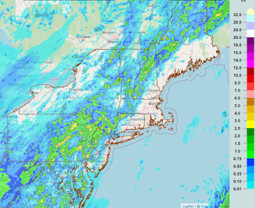
Below is the regional radar as of 5:35pm. The arrow denotes the direction of movement of the heavy rains.


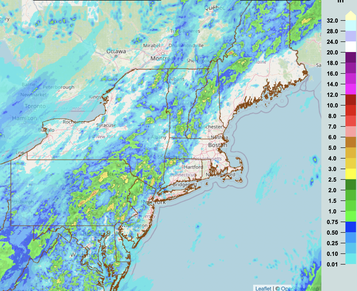
The area in red, below, is the current flood emergency.

--- original posting ---

Update 4:55pm: The NWS says as much as 12" may fall in central and northern Vermont and far northeast New York. They say the flood risk is "high" -- only 4% of days have a "high" flood risk but they account for 40% of the fatalities.
 If you live in a flood-prone area, now is the time to prepare a "go kit" of things you would want to take if you are ordered to or want to evacuate on short notice.
These rains will fall on top of significant rains that have fallen during the 24-hours ending at 3pm.


Comments
Post a Comment