Rainfall: Now Until Next Tuesday (19th)
Gulf States
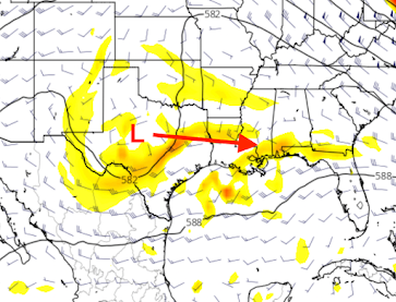
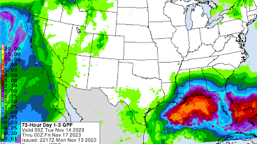
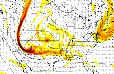
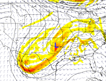
There is a low pressure system (red) over central Texas that is moving east southeast. The low will end up over Florida, where it will dissipate on Friday. The low pressure systems are those at 4 miles above the ground.There will be some locally heavy rain along the immediate Gulf coast (middle map) as a result.
California and the West
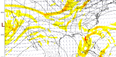
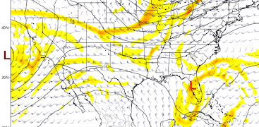
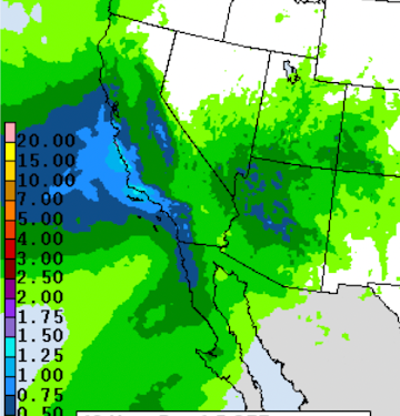
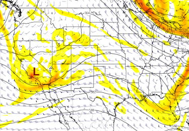
I've repeated the noon Friday map immediately below. The low pressure system (brown) off the coast will cause locally heavy rains (middle map). The bottom map is noon Saturday which is when the rain will begin tapering off from west to east.
Intermountain and Central U.S.
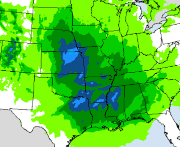
In the lead-up to Thanksgiving travel, at noon Monday we have a dissipating low in southeast Kansas and a developing low in New Mexico. That will cause light to moderate rainfall amounts over the Intermountain region and the Great Plains south to the Gulf Coast (middle map).
Right now, outside of Colorado, I don't think there will be any serious snowfalls. However, that is very preliminary (it is a week away, of course).
The New Mexico low by Tuesday afternoon will move to the Red River in far southern Oklahoma. However, that low will also weaken after this time.
At this point, it does not look any major storms during the pre-Thanksgiving travel period. I will update later this week. Please check back.



Comments
Post a Comment