
Posts

Showing posts with the label validation

Validation of July 1 Tornado Mini-Forecast

Image
Whenever possible, I like to narrow down tornado danger areas. I issued one of my mini-forecasts Monday afternoon on Twitter/X. See below.  At 4:29pm I forecast tornadoes within the blue outline from 5 until 6:30pm.   What actually happened? The red dots are the locations of tornadoes. The first was at 5:51pm and within the forecast area. All of the rest of the tornadoes were in the mini-forecast except for the easternmost which was just past the forecast. However, the more eastern two tornadoes occurred after 6:30. I have a tendency to end these forecasts too soon, so it is something I need to keep in mind.  How would I grade this forecast? B. 
How Did the Forecasts Work Out?

Image
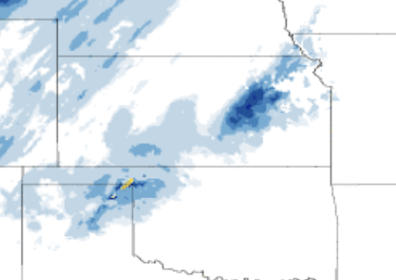
When I make forecasts that are greatly different from others', I hold myself accountable by publishing a post-storm evaluation... for better or worse. Here are two evaluations from Friday's storms now that we have the data.  Central Plains Snow Early and late-season snow forecasting is extremely difficult, but people need to know it is coming. So, I wanted to review my snow forecast because other forecasters (NWS, AccuWeather, etc.) did not have snow in the forecast outside of northwest Kansas.  Below is the actual snow accumulation.  Satellite View of Accumulated Snow There was a snow thunderstorm that caused 6" along the Texas-Oklahoma border in the eastern panhandle area. That possibility was discussed. Otherwise, amounts in the central Great Plains were 4 inches or less, with the heavier amounts in the Kansas Flint Hills.  You can compare my forecasts (below) to the actual (above).  12:05pm Wednesday This forecast of the band of snow was way too far north. T...

Validation of the Blizzard and Tornado Forecasts

Image
Blizzards are rare but events with extremely high impacts. So, it is important to validate the quality of forecasts versus what actually occurred. I also compare the tornado outlook yesterday's storms. It is dismaying to learn of the apparently hundreds of autos that got stuck in the storm, especially to the north of Kansas. One of my motivations for presenting these validations is to convince people to take warnings seriously. I doubt that anyone on I-80 who just had to spend the night in the freezing cold would want to do it again. Blizzard Validation These were the early blizzard forecasts: Posted 5:12pm Wednesday: Posted at 9:28am Thursday. The track is a little south but overlaps the actual track. The forecasts just got better from there. By Friday, we had pretty well locked on to the blizzard's path. Here is the actual snow from yesterday's blizzard (yellows and oranges are snow melt). As of this posting, they are still  widening the closure of I-...