
Amazing Satellite Animation of the Volcanic Pressure Wave
Saturday, we walked about the barometric pressure wave from the Tonga volcano explosion as it moved across the United States. For example, the red line (below) shows the very rapid fluctuation in barometric pressure at Washington, DC.

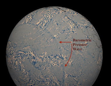
The animation is here. Just amazing. Thanks to William Barlow for the animation.


Comments
Post a Comment