Thunderstorms Will Be Active Next Three Days
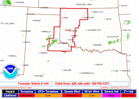
It is going to be another active weekend in the central third of the U.S. Graphics from the SPC.
Today and Tonight:
With 5% the significant threshold, people in the central High Plains need to keep an eye out tomorrow.
Very large hail (greater than two inches) is forecast in the hatched area. On this graphic 15% is the significant threshold for 1" hail.
Saturday and Saturday Night:
On this map, 15% is the significant threshold:
Sunday and Sunday Night:
This could be a very active area, complete with tornadoes, so caution is advised.
At 8:03am Friday, thunderstorms are already occurring from Omaha to west of Salina. It is going to be a busy weekend for meteorologists in the Midwest.


Comments
Post a Comment