Quick Update on Ian, 3:05pm
While I will do a complete update after 10pm tonight, the latest models and other output show Ian's surface winds are up to about 50 mph.
The models I trust the most continue to show a landfall on the Gulf side of the Florida Peninsula but they have a considerable spread as to strength. Were I living in the area, I would be following the advice I have posted below.
Also, there is a hurricane warning for Grand Cayman Island.
Some suggestions for this point in the storm's progression:
- If you get a portable generator, follow the instructions to the letter! In Hurricane Laura, more people died from carbon monoxide poisoning than from the hurricane itself.
- Get extra cash from the ATM.
- Make sure your vehicle is filled with fuel now -- before the rush begins.
- Pack a "go kit" so you can make a rapid getaway if an evacuation is ordered. It should include some basic clothes and any small heirlooms or other valuables.
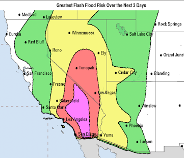
Flooding rains are likely in Florida.
The global warming hurricane hype has already begun.
The word I -- strongly -- object to is "will." We have zero skill at forecasting the weather three months in the future, let alone 30 years. For example, there is no -- zero -- uptrend in number of major hurricanes or major hurricane frequency. See below.
 |
| click to enlarge |
The global warming ghouls are salivating at the prospect of a major hurricane striking Florida. Don't fall for their hype.


Comments
Post a Comment