Ian Update at 2:10pm CDT
Important update in red!
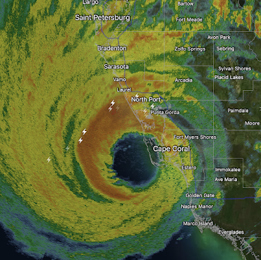
The Doppler wind data (not shown) is still showing extreme winds. Below is the type of radar you see on television. Given the lightning, it is not likely to lose any strength soon, so inland damage may be extreme even away from the coast.
The above radar is from 1:35pm EDT. Because lightning indicates a strengthening storm, the west edge of the eye will be as strong as the leading edge. The storm surge will be from a different, or perhaps, opposite direction.
Additional info at 2:03pm.
The wind swath data just in shows winds gusting above 100 mph in the Orlando-Disneyworld area. This happened with Charley (2004) and it caused tremendous damage and long-period power outages in central Florida as well as along the coast. Please prepare now.
Note the storm regenerates in the Atlantic off Daytona-Jacksonville. I'll cover that in detail later this afternoon.
- Fill your car with fuel.
- Fully charge your phone and laptop BUT discontinue when the wind gets strong or the power starts flickering
- Get cash at the ATM.
- When the extreme wind warning is issued, take shelter as if for a tornado.
- If you are short of a critical prescription, get it refilled now!
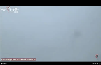
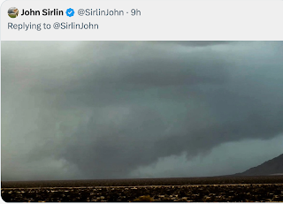
The photo below is a screen capture from Sanibel Island a few minutes ago.
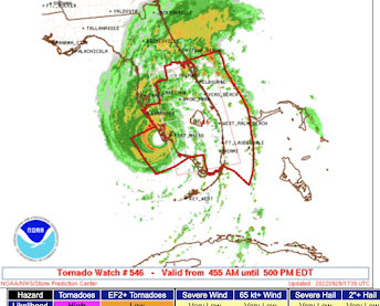
Tornado watch is in effect until 5pm.
In order to receive the finest tornado warnings, please sign up for StormWarn. For more information, please follow me on Twitter @usweatherexpert.



Comments
Post a Comment