24-Hour Rainfall Report and Today's Tornado Risk
Unfortunately, there is the risk of more tornadoes this afternoon.If you live in the red outlined area -- including St. Louis --
please monitor the weather the rest of the day.
Rainfall:
Above is the 24-hour rainfall ending at 10am. Below is a closeup of the heavy rains over eastern Kansas. As much as
six inches fell in the southern Flint Hills. At my house, the 2.5 inches that fell was the heaviest rain in more than a year. For those who keep track, here is my forecast -- made Saturday -- for the tornado risk Sunday afternoon through early this morning.
And, here is the NWS's preliminary tornado locations.
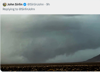
There was a fair amount of damage with these tornadoes. Fortunately, most of was of the F-1 to F-2 variety. Below is a photo of the Coweta Tornado, south of Tulsa.


Comments
Post a Comment