6pm Saturday: Complete Update on Hurricane Ida
The NWS NHC's forecast location of landfall has not changed since this morning. It could still come ashore 25 mi or so on either side of the forecast. I still look for the peak sustained winds to be ~140 mph with higher gusts. The areas that experience these winds will have catastrophic damage as they are equivalent to a high-end EF-3 tornado. There are sample photos at the very bottom of this post.
Below is a map of the approximate wind field with Ida.
The 5:37pm satellite image shows a more symmetric eye than at 4pm.
 |
| NO = New Orleans; M = Mobile; T=Tampa; Mi=Miami |
At 4pm the maximum winds were 105 mph. The winds do not appear to have changed much since then. The central barometric pressure is 967 millibars. The pressure continues to fall rapidly with a fall of 4 mb in the last hour.
Below is the area covered by the storm surge warning. Maximum surge is forecast to be 15' which does not include waves and tides. High tide Sunday morning is 10:36am.
Below is the time by which you should have your preparations completed.
There is an extreme flooding threat!
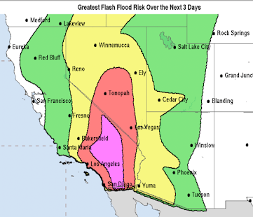
If you live in the orange, gold or yellow areas flooding is highly likely. If you wish to evacuate and haven't done so, it is a better idea (other factors equal) to go west. Shreveport, Beaumont or Houston are good ideas. If you go east, you may have to do with flooding on your way back.Here is the more immediate flash flood risk.
The area in yellow has an enhanced risk of tornadoes Sunday and Sunday night.
This includes Gulfport, Hattiesburg and Mobile. What I Recommend If You Are in the Higher Wind or Storm Surge Areas
- Evacuate if you are told to do so. Before you leave, turn off water at the main valve and turn off electricity at the master switch. Charge your smartphone, laptop, etc., before leaving.
- Make a hotel reservation well inland. If possible, evacuate to the west due to flooding concern over Mississippi and the eastern half of Louisiana. If you have the means, this frees up the shelters for people who cannot afford hotels, which is especially important given COVID.
- Figure out what you can fit in your car in the way of irreplaceable items like scrapbooks and family heirlooms.
- Make sure you have at least three ways of receiving vital warning information.
- Fully charge your smartphone and laptop before the storm arrives. Then, disconnect during the storm as power surges can damage your equipment.
- Prepare for power failures. If you have a generator, fill it with fuel. Do the same for your car. If you want a generator, have a professional install it.
- Get extra cash at the ATM. Credit cards don't work if the power fails.
- If you have a chain saw, fill it with fuel.
- Clean out gutters.
- Install your hurricane shutters or board up windows.
I am providing frequent updates @usweatherexpert on Twitter. Note: I am calling out politics and weather porn. If I am online, I am happy to answer questions.
Note: Politicians, regardless of party, are terrible sources of meteorological data, especially in emergencies.
Fact: We don't know how bad Ida will be until it comes ashore! All of this "worse than Katrina" and other nonsense is just weather porn. Please follow the information in this post and from @NHC, @Accuweather and other reliable sources.
Fact: We don't know how bad Ida will be until it comes ashore! All of this "worse than Katrina" and other nonsense is just weather porn. Please follow the information in this post and from @NHC, @Accuweather and other reliable sources.
Dr. Roger Pielke, Jr. has an essay on hurricanes that have struck in the vicinity of New Orleans. This will be very useful if you are looking for scientific perspective.
Sample damage from a tornado of the approximate strength of the peak winds forecasted for Hurricane Ida. This was from a tornado in the New Orleans area.


Comments
Post a Comment