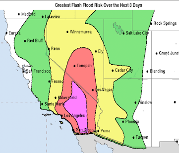
Winter Storms Update: 2:30pm Thursday
Meanwhile, AccuWeather regional radar shows the very beginnings of the second storm developing over the Rockies and High Plains.
The map below is the probability of 2" or more of snow between 6pm this evening and 6pm Friday.
The map below is the probability of 2" or more of snow between 6pm Friday and 6pm Sunday.


Comments
Post a Comment